


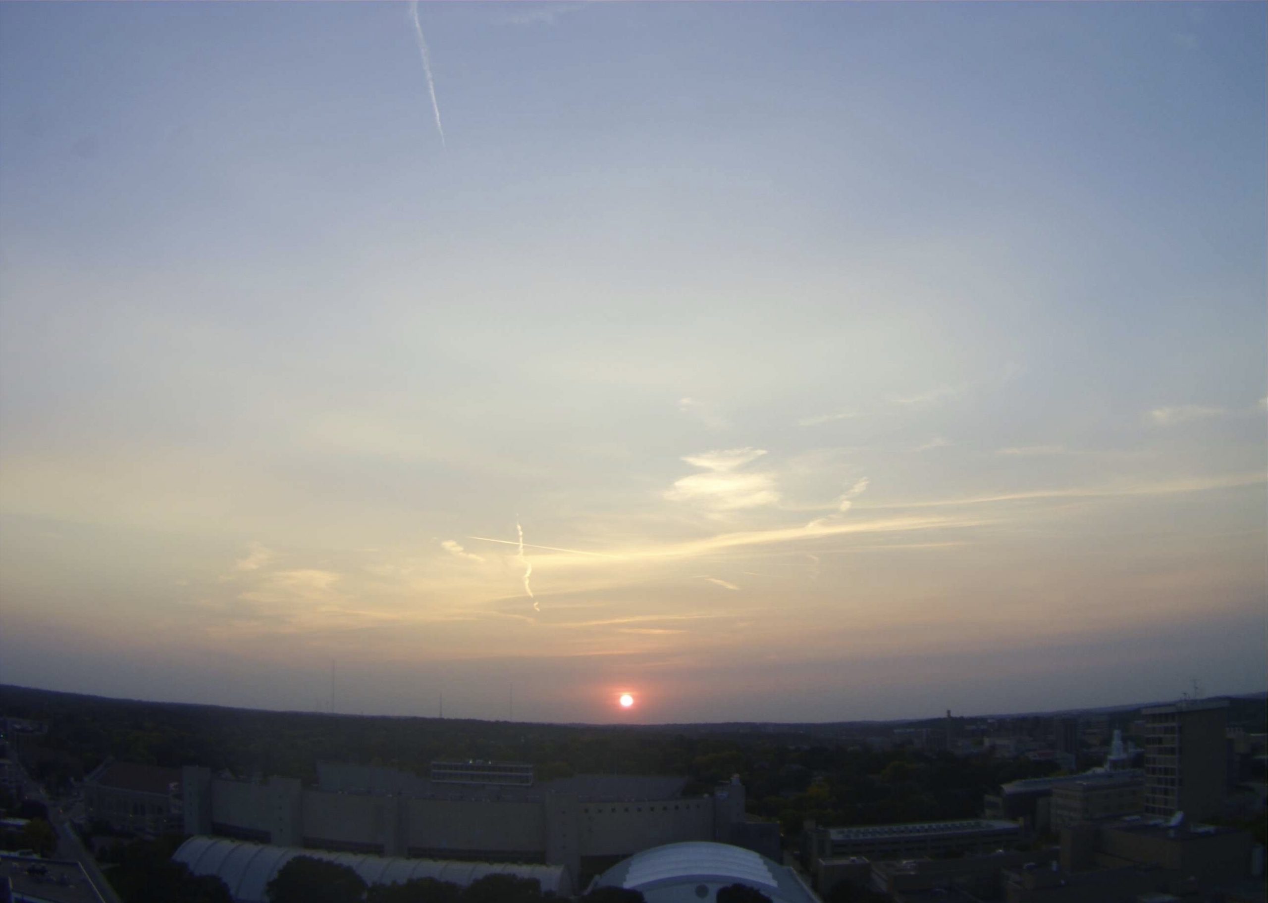
Image above is of Madison, Wisconsin on September 25, 2020 at 18:31 CDT and shows Cirrus or Wispy clouds, which are feathery in appearance and are composed entirely of ice crystals.
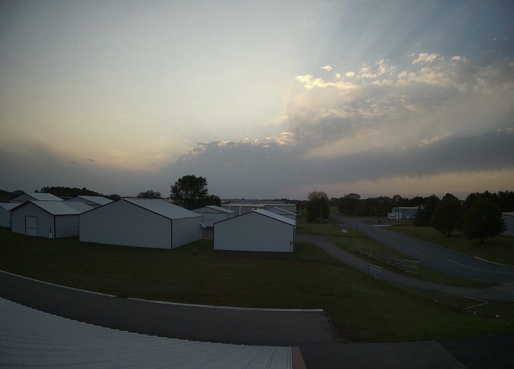
Image below is of Menominee, Wisconsin on September 25, 2020 at 18:31 CDT with skies filled with Altostratus clouds. Altostratus clouds are storm clouds that precede a thunderstorm predicted for the following day. They transform into Altocumulus clouds before noon the next day that are populated with vortices of hot air rising into cold air pockets within the clouds. This process leads to the formation of precipitation manifesting High Level Shear, driving the creation of Cumulonimbus clouds.
Cumulonimbus clouds contain the horizontal potential energy required for the formation of tornadoes. These kinds of thunderstorm producing clouds can become so massive that they interchange into a supercell containing interior vertical vortices invisible to the naked eye. These invisible vortices become dangerous when hot air rises, causing a transfer of energy that creates a downward spiral or vertical spin into a funnel cloud. If the funnel cloud reaches the ground, it is the manifestation of a tornado.
Images discovered and commentary by YHWH’s First Adopted Son, @StormyLonnie!
More Stories
Map of the Known Universe
Butterfly Planetary Nebula
Sombrero Galaxy